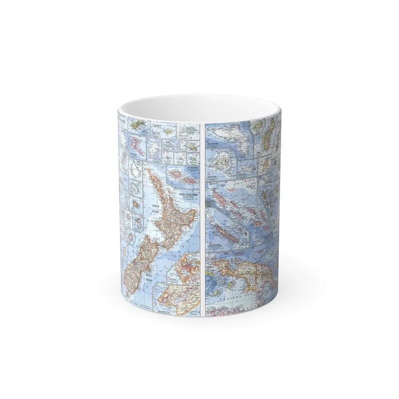
"New Zealand, New Guinea (1962) Map" This map represents geographical information of both New Zealand and New Guinea from 1962. It provides a visual depiction of the physical landscapes, political boundaries, and notable features for each region during this year. At that time, New Guinea was divided between two territories: the independent nation of Papua New Guinea (covering most of the island) and the Indonesian province of West Irian (now known as Papua). New Zealand is an independent island country in the southwestern Pacific Ocean. The map serves as a historical reference for studying the geographical and political conditions of these two regions during the specified year.
Express delivery and return policies
Free shipping on orders over $30
Processing time: 1-2 Days
Shipping time: 3-5 Days(According to the logistics method and delivery address)
Items can be returned or exchanged within 30 days !